The science is clear – climate change is here, and it’s not pretty. Droughts, wildfires, storms, floods, sea level rise… you name it. The good news is that we already have the knowledge, and the know-how, to turn the tide toward a more sustainable future. What is needed is the political will to act. It will take all of us, working together, to turn this vision into a reality.
Please join us over two fun-filled weekends as we explore the Bay Area by foot and by bicycle across six counties. Each event will feature inspiring speakers, climate points of interest along the way, a delicious lunch, and prizes.
Your participation will directly support the climate work of 350 Bay Area as well as local groups Napa Climate NOW!, 350 Sonoma, 350Marin, 350 Contra Costa, 350 East Bay, and 350 San Francisco and allied groups.
Basic Registration Fee: $35
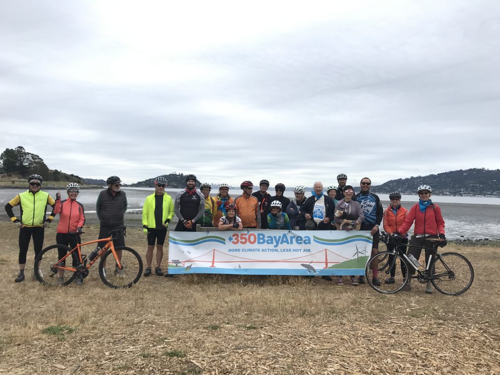
Saturday, June 4
Paradise Loop
Route map starting at Larkspur Landing with fabulous Bay views, rolling hills, wetlands and waterfront with new bicycle infrastructure.
25 mile bike ride, Difficulty rating: 3 (medium), Elevation gain: 1,166 ft
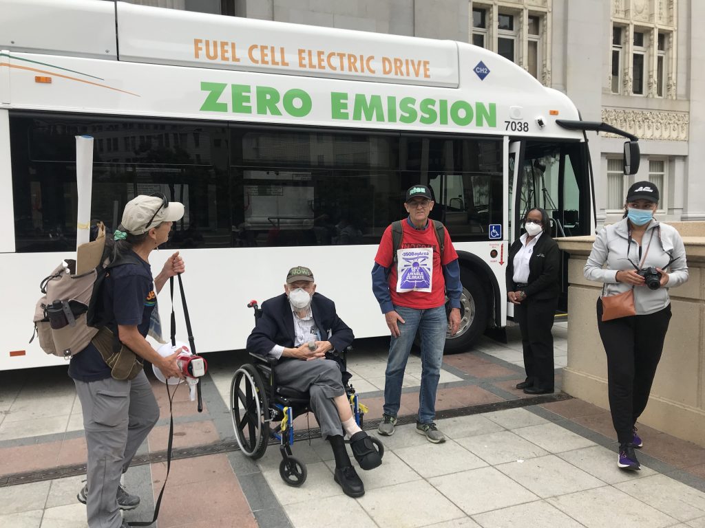
Saturday, June 4
Oakland Goes Green
Route map featuring historic Downtown Oakland, adaptive reuse buildings, public transportation, energy retrofits, and more.
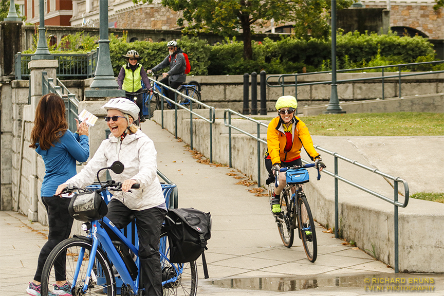
Sunday, June 5
Wine Country Climate Solutions
Walking route map features the Napa Flood Control Project and Oxbow Commons, Fuller Park, green building examples, tree canopy, and infrastructure projects.
Bike route map features the Vine Trail, NVC solar array, healthy buildings, compost facilities, infrastructure projects, and wetlands.
35 mile bike ride, Difficulty rating: 1 (easy), Elevation gain: 1,166 ft
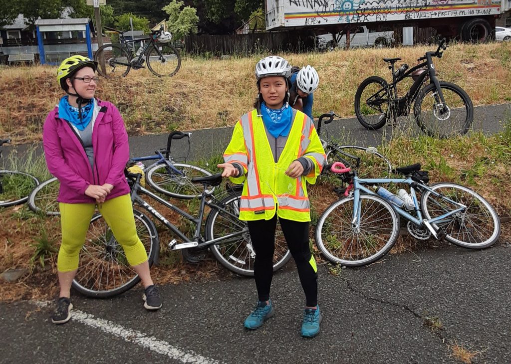
Sunday, June 5
Accelerating Active Mobility Networks
Route map featuring vineyards, urban and rural bike trails, beautiful countryside, and much more.
41 mile bike ride, Difficulty rating: 2, Elevation gain: 1,349 ft
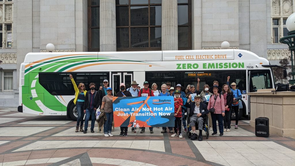
Saturday, June 11
Cleaner Air and Water & Transportation Solutions in the East Bay
Route map featuring Bay Trail, Greenways, Complete Streets, Transportation-Friendly Housing, Lake Merritt and more.
23 mile bike ride, plus optional 10.5 mile extension map, Difficulty rating: 2 (with urban streets), Elevation gain: 450 ft
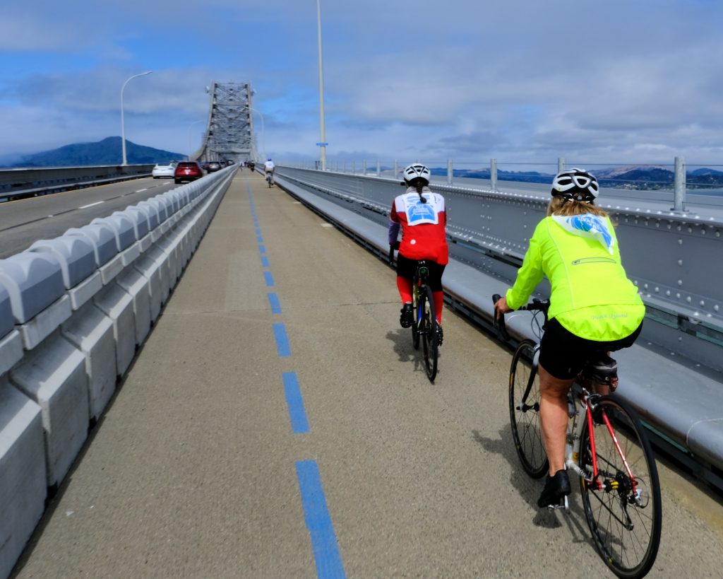
Sunday, June 12
Connecting Climate Solutions Across the Bay Area
Route map connected by two bridges and a ferry to connect counties in the Bay Area with fabulous Bay views and waterfront.
36 mile bike ride includes Marin, SF, East Bay, and Contra Costa, plus optional 14 mile extension map to close the loop, Difficulty rating: 3 (medium), Elevation gain: 1,065 ft
Fundraising Goals: $350 – $1,000 per participant
As an event partner, you can:
Ask your members, employees or others to ride or walk in a planned event, either individually or as a team
Additional ways to partner with us: